Kimberley Coast Western Australia
The ‘Kimberley Landscapes’ post introduces many of the names and process mentioned in this article. Readers may find it a useful supplement to other articles about the Kimberley coast.
This post could also be read in association with that on the ‘Horizontal Waterfalls’.
In these articles I generally refrain from describing the magnificence of the local landforms but give a broad outline of the formation of the landscapes and a little of their natural history in the hope that these explanations may remove some of the bewilderment about how such natural, often complex wonders originated.
Talbot Creek
This creek, like the Horizontal Waterfall complex, joins Talbot Bay at its south eastern end.
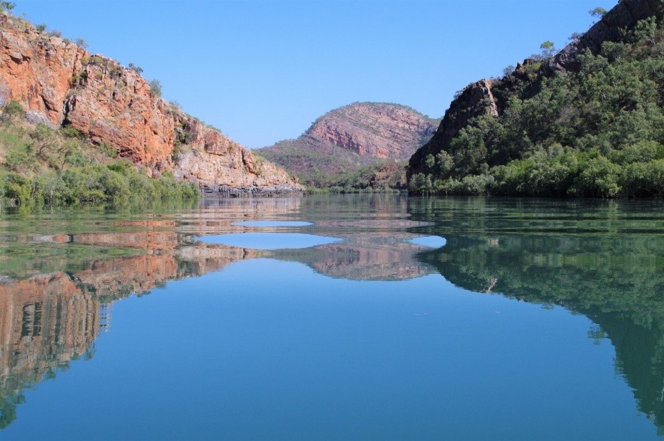
The earth-moving forces that caused the steep folding of the rock formations at the Horizontal Waterfalls certainly folded the rock strata we see along the creek, but to a lesser extent (compare right and left of Figure 1). Over time the same weathering and erosive mechanisms have reduced many of the high points produced by folding to ‘stumps’ (as shown in Fig1 by the C shape) and these forces have acted to remove the less-resistant Elgee Siltstone and the Carson Volcanics formations with any un-weathered part mostly below the water. These mechanisms have involved flowing creeks that have cut down and opened-up gaps in the two of the more resistant sandstone rock ridges. Compared to the Horizontal Waterfall complex the two gaps along Talbot Creek are wider, and although the water rushes through these in response to tidal changes they do not offer enough resistance for the formation of horizontal waterfalls.

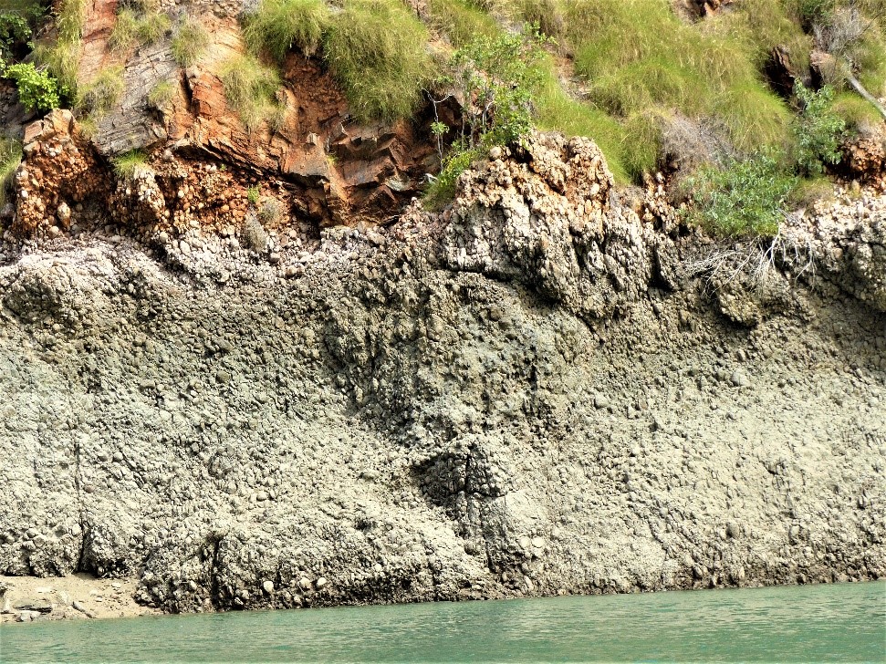
Like the remnants on the walls of the embayments in the Horizontal Waterfalls complex, there is also plenty of evidence to show that particular rock types originally filled the spaces now filled with the Talbot Creek channel or tidally flooded lowlands covered with mangroves. The most prominent remnant is a narrow ridge (Fig.1 #15; Fig.2 #14) of Elgee Siltstone formation rock. This ridge is a formed from a bed of resistant conglomerate (Fig. 3) and not the soft siltstone beds typical of the Elgee Siltstone formation. There are also traces of this formation remaining on the tide washed wall (Fig. 2 #4). This sample (Fig. 4) also shows the wave like traces of micro folding compared to the large-scale folding that produced the surrounding ridges (Fig. 5).


A cruise out of Talbot Bay and along its estuarine creek takes a circuitous route through the first gap (Fig.2 #3) which has been cut down through Pentecost Sandstone . This leads into and embayment once filled with the easily weathered strata of Elgee Siltstone and towered over by the high ridges of Pentecost Sandstone on both its northwest and southwest (Fig. 5). These are fairly shallow waters with a well developed mangrove community to its southeast. The creek channel follows a straight 3.5 km path to the southeast between a thin ridge of conglomerate dominated Elgee Siltstone and a rocky sloping ridge face of Warton Sandstone that dips down under the channel (Fig 2, #14 and #5). At the end of the straight is another gap (#15) cut through the Warton Sandstone with the creek channel flowing through this into a space once filled with Carson Volcanics basalt.

Like the second embayment of the Horizontal Waterfalls complex, remnants of Carson Volcanics basalt many be spotted above the mangroves on the lower slopes of the Warton Sandstone. Further along this mangrove filled emabayment formed by Talbot Creek there are dark mounds of large black boulders on the surrounding low hills. These are not formed from Carson Volcanics rock but remnants of Hart Dolerite that once intruded the Volcanics (Fig. 4; Fig. 2 #8). Much of this lowland space is flooded during high tides, it is intersected by creek channels, has some salt flats at its margins and supports several mangrove species.

Much of the hilly country around the estuary supports savannah woodlands dominated by eucalypts, particularly northern woolybutt (Eucalyptus miniata) with an understory of grasses and patches of wattle. Some of the high slopes (background Fig. 5) with massive sandstone exposures may carry a small, powdery white, smooth barked Eucalyptus rupestris.This small tree has with no common name but a species name meaning ‘rock loving’ (Fig. 7) . On the ridge above the mico-folding (Fig.2 # 4) are a number of the native northern pines, Callitris intratropica, growing on the ridge (Fig. 8). As species, and as the name suggests these pines are distributed across tropical nothern Australia. Another less common small tree, a Kurrajong, which flowers toward the end of the dry season when it is deciduous. The bright red flowers of this Kurrajong (Brachichiton viscidulus) may be seen on a few trees at the nothwestern end of the Eleee Siltstone ridge (Fig. 2 #14). This species has no common name and is often distinguished by it sticky fruits (Fig. 9).


